

HCS
GEOSCIENCE & ENGINEERING
CONSULTING SERVICES


RS & GIS
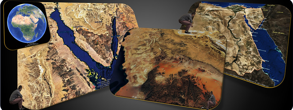
Remote Sensing Interpretation & GIS Data Visualization

-
HCS offers a wide range of GIS and Remote Sensing Services. It used in numerous fields, geography, land surveying and most Earth Science disciplines like surface geology, structural geology, topography, hydrogeology and ore deposits exploration.
-
Surface and Subsurface Geologic mapping is very important tool for exploration petroleum geologists, hydrogeologists, facility engineers, and mining geologists as well.
-
Geo-scientists care with the surface geologic features close to their exploration acreage which may carry the details of the subsurface geology, finds their needs in remote sensing applications. Satellite image interpretation used to tie surface and subsurface geology and modelling.

-
Ore Deposits or natural resources surface mapping can be accurately detected from the satellite maps through certain filters and interpretation.
-
HCS has the expertise in this field to support all mining activities.

